Introduction
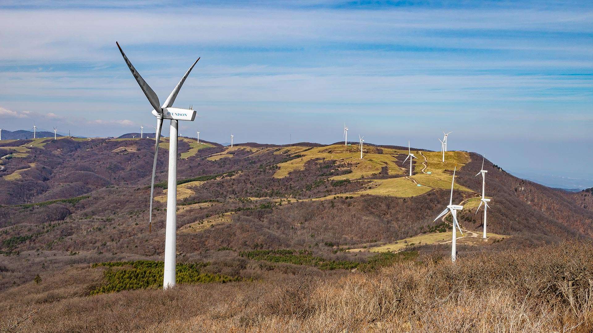
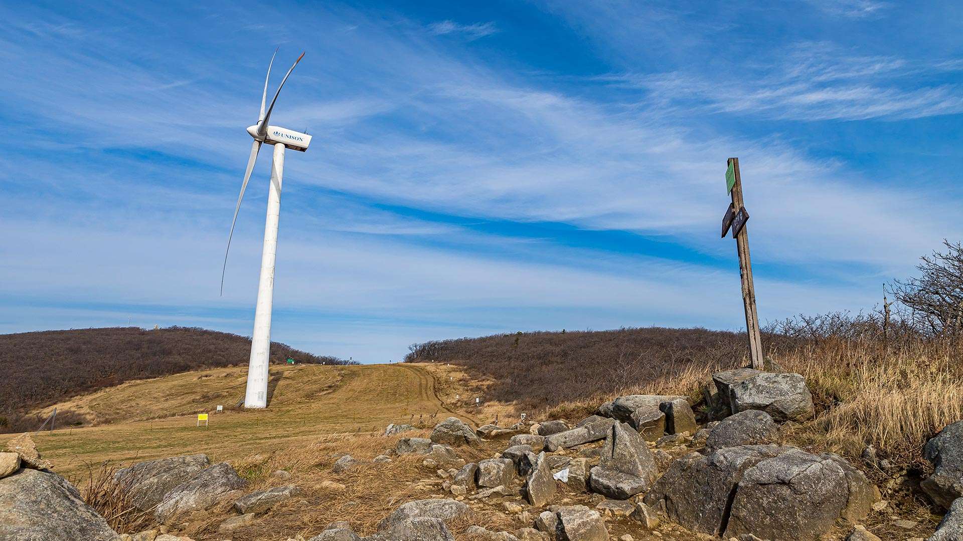
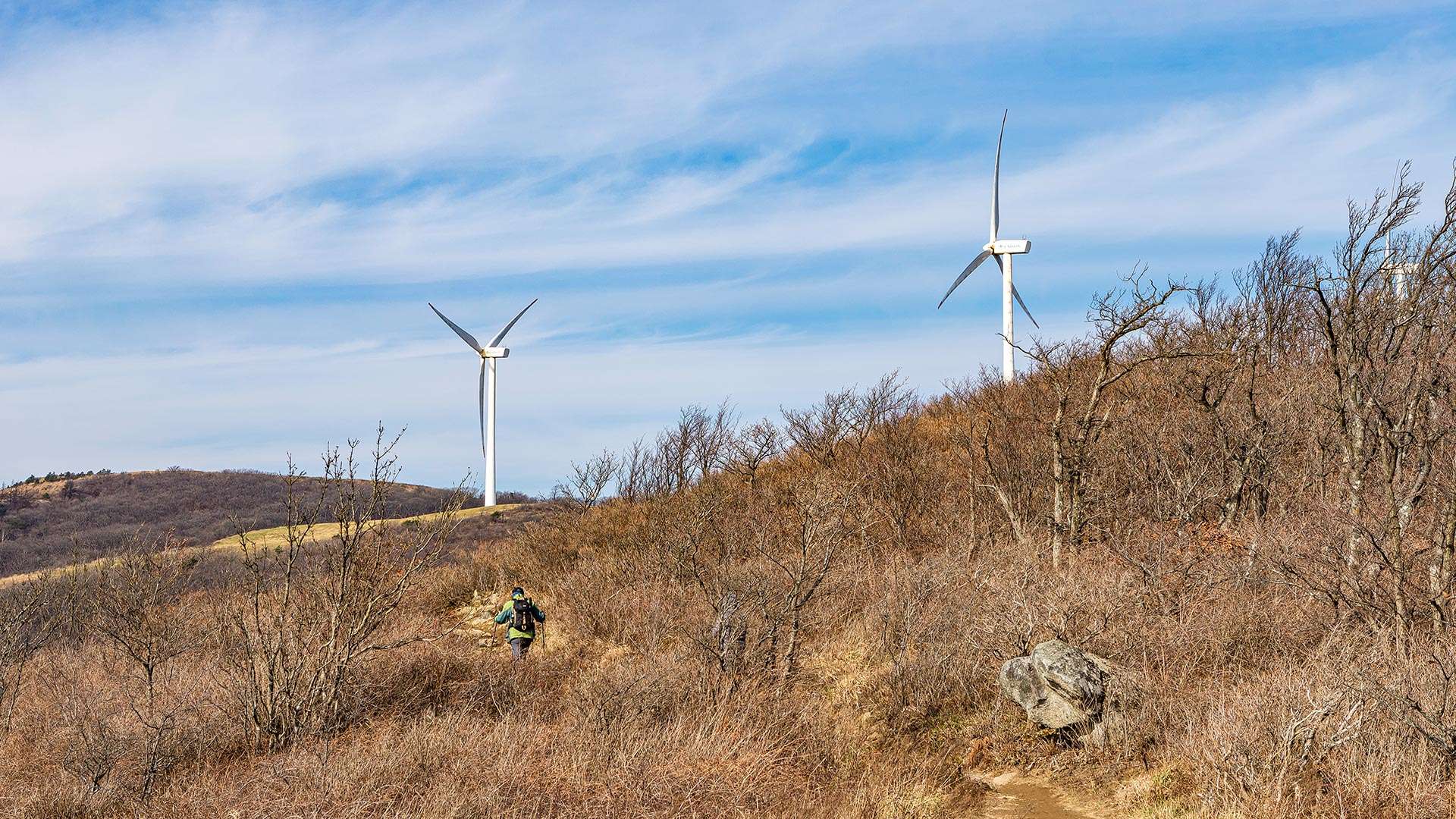
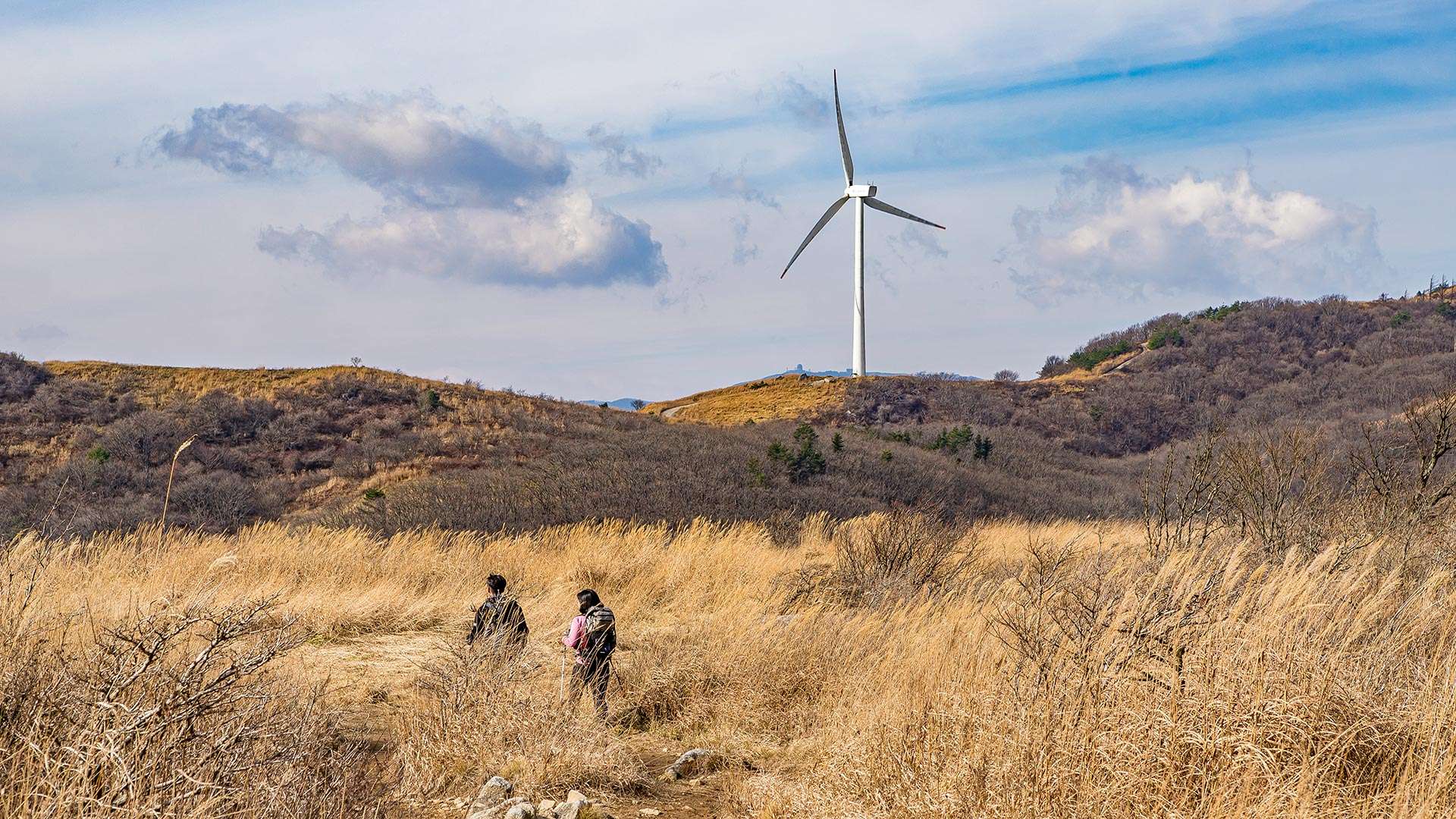
Baugil Trail is a long-distance walking route of approximately 350 km that stretches from the Baekdudaegan mountain range to Gyeongpo and Jeongdongjin, offering a unique experience of walking through both mountains and the sea. The name “Baugil” originates from the Gangwon dialect word for “rock.” Course 1, the first section of the trail, follows the ridgeline of the Baekdudaegan, passing through gentle highlands lined with fences of lush sheep ranches and Korea’s largest wind power complex, whose turbines resemble white pinwheels spinning atop the mountains when viewed from afar.
Tourist Guide
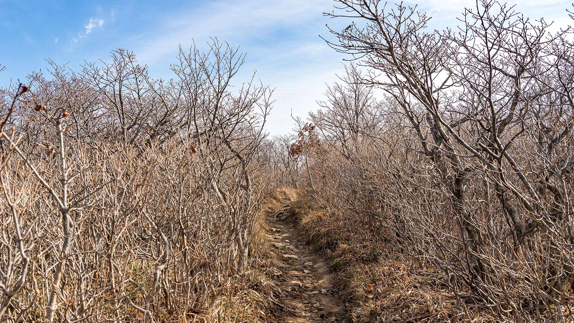
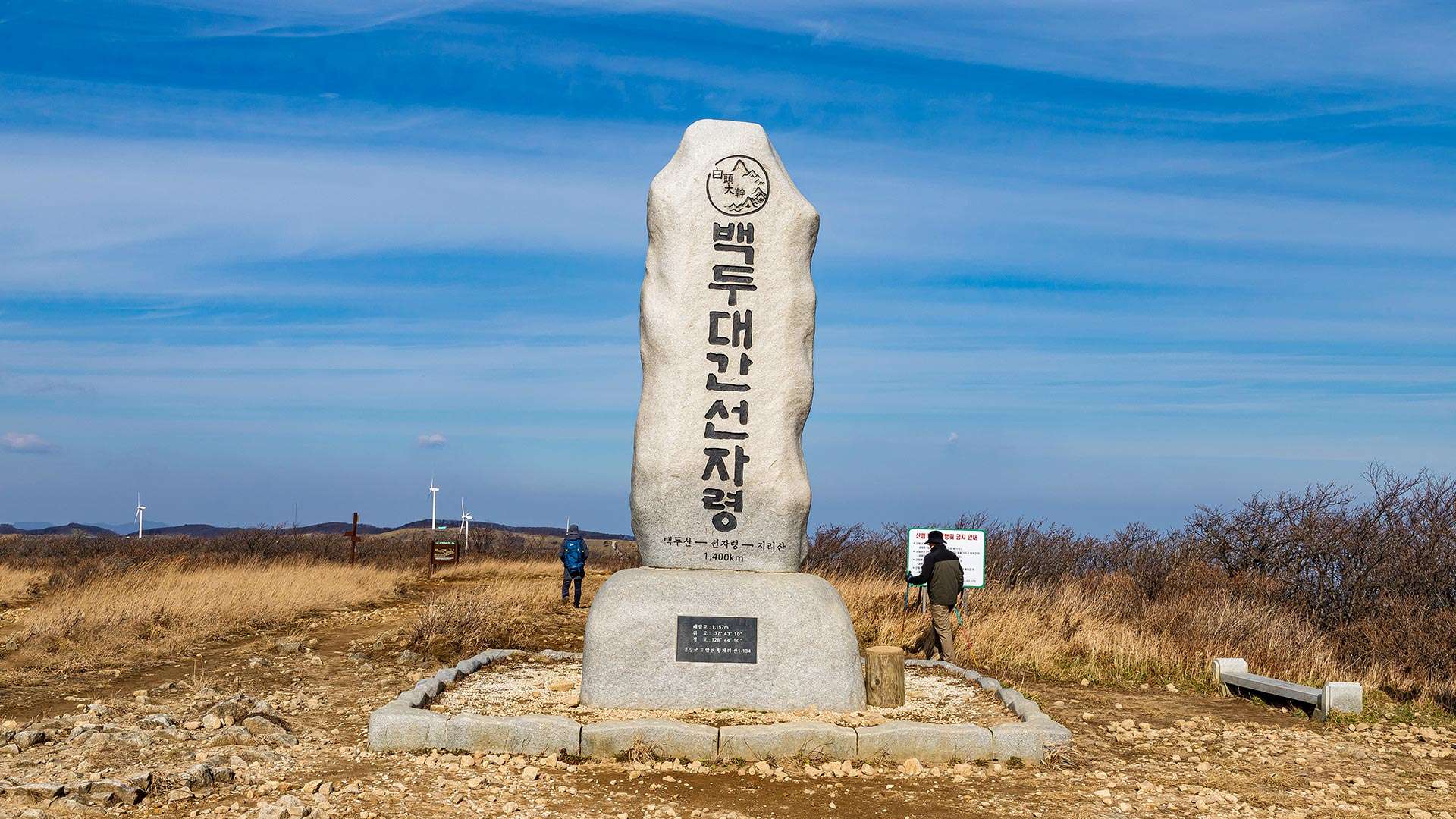
Baugil Trail Course 1 is widely known among hiking enthusiasts as the Seonjaryeong Windmill Trail. Although the summit reaches 1,157 meters above sea level, the starting point is already at an elevation of about 850 meters, making the ascent relatively gentle. From the ridgeline of the Baekdudaegan, visitors can enjoy panoramic views of both the Yeongdong and Yeongseo regions. From spring to autumn, the trail transforms into a paradise of wildflowers.
Travel Tips
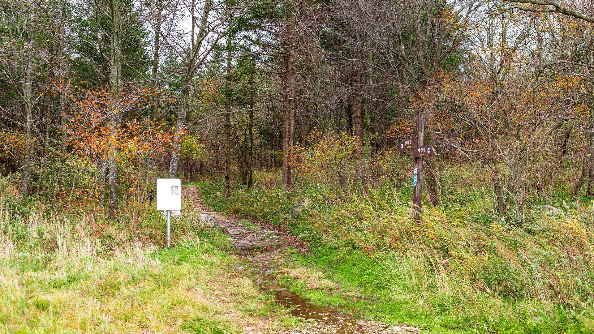
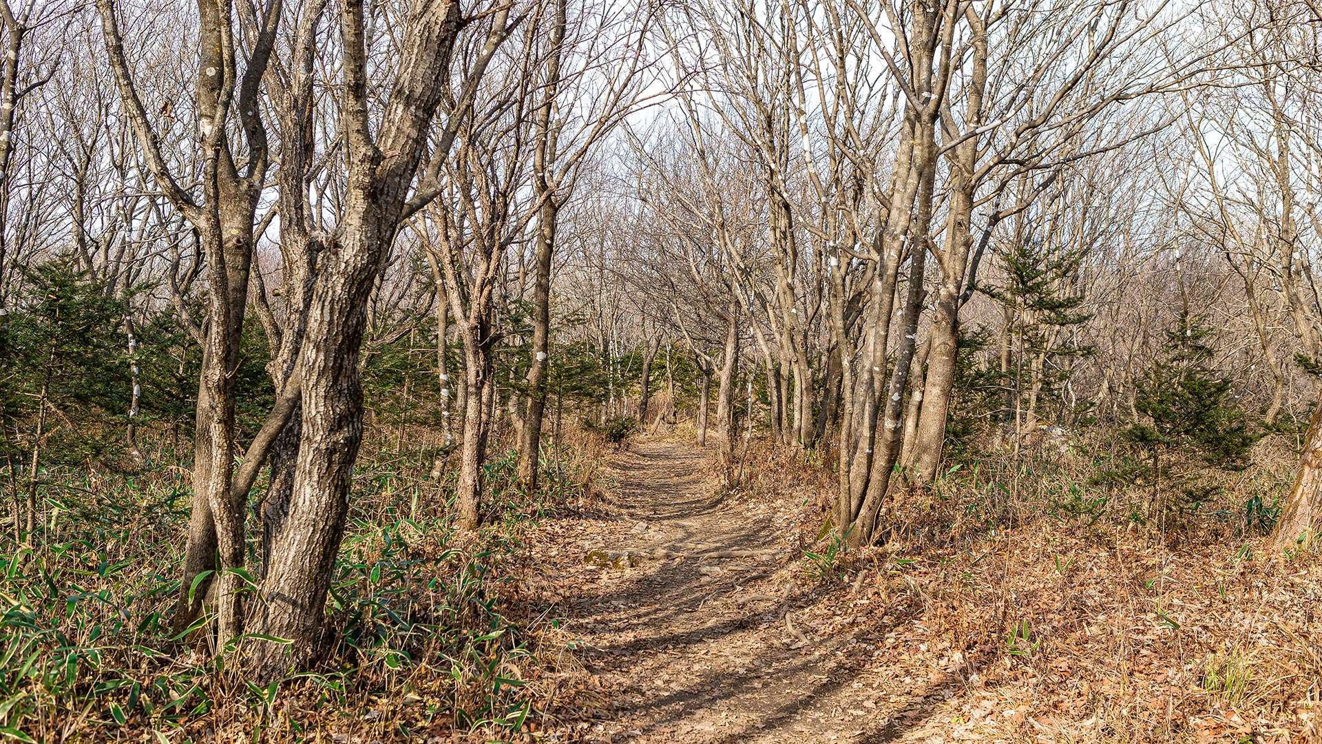
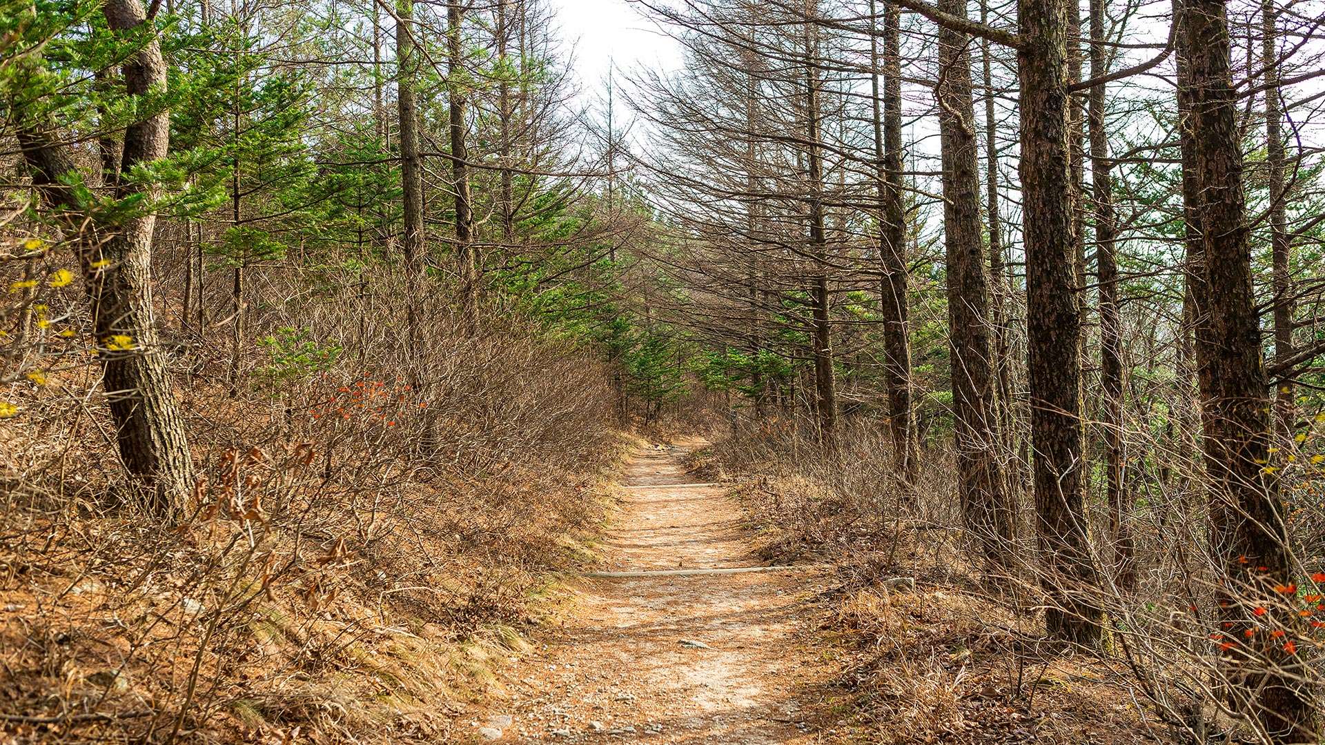
The Seonjaryeong Windmill Trail (Baugil Course 1) spans a total of 14.7 km. Starting from the Daegwallyeong Rest Area, the route connects to a junction leading to both Baugil Course 2 and Baugil Course 1 of Daegwallyeong. The trail passes through Hanil Ranch Road, Seonjaryeong Peak, and the East Sea Observatory before returning to the Daegwallyeong Rest Area. By taking the branch toward Course 2, visitors can reach the Guksa Seonghwangdang Shrine. Since the first section consists mainly of mountainous terrain and weather conditions can change rapidly, it is recommended to bring crampons and gaiters during winter.