Introduction
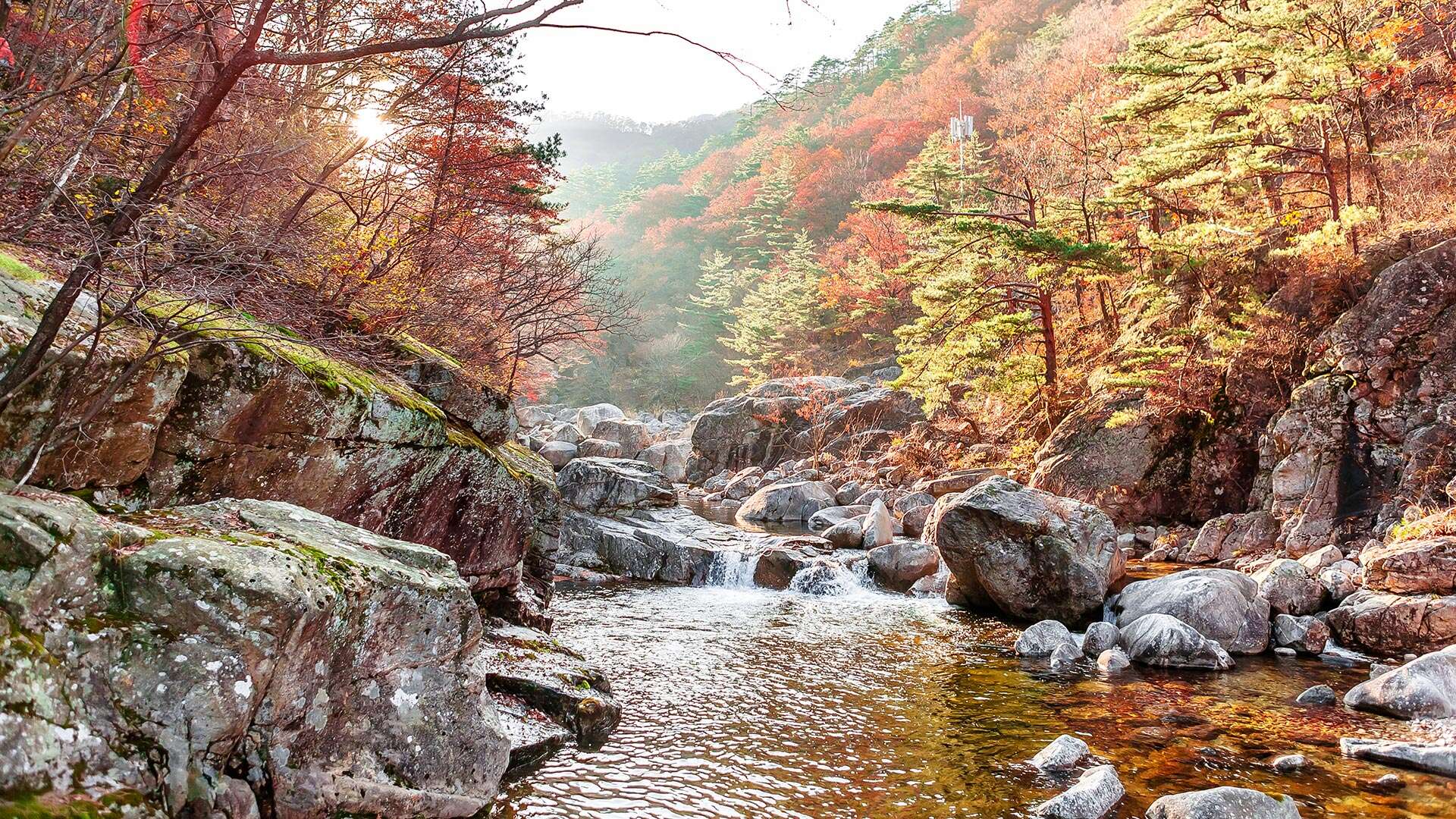
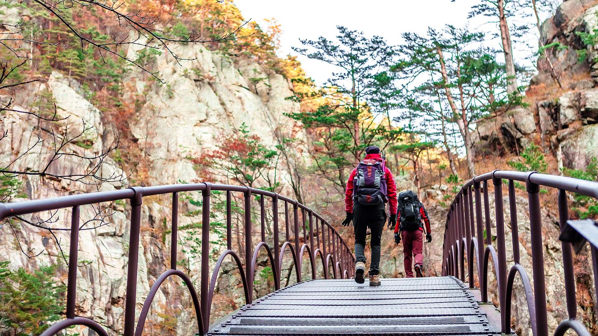
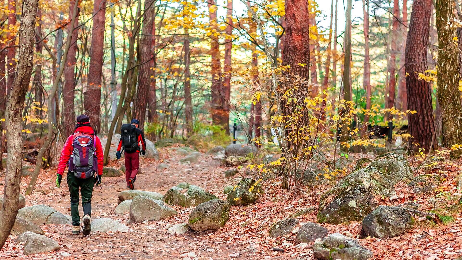
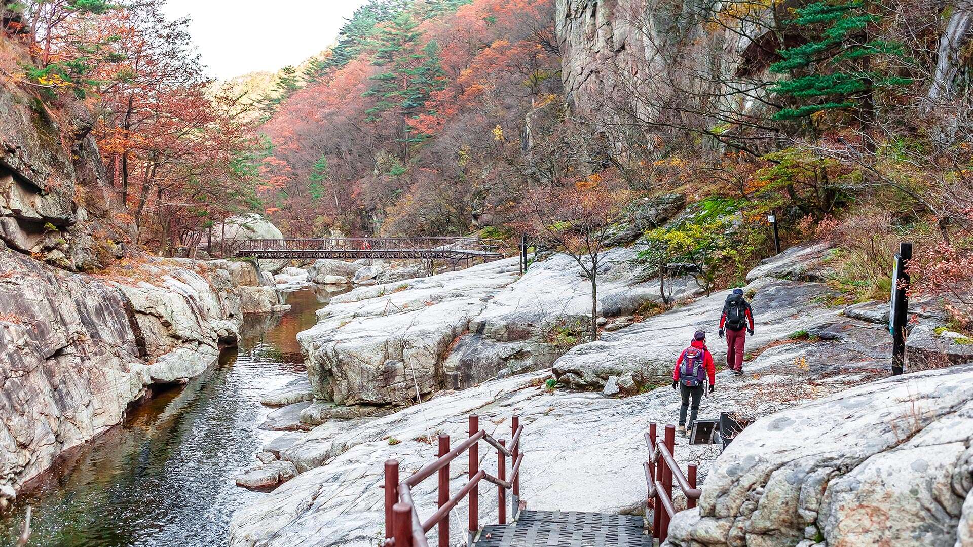
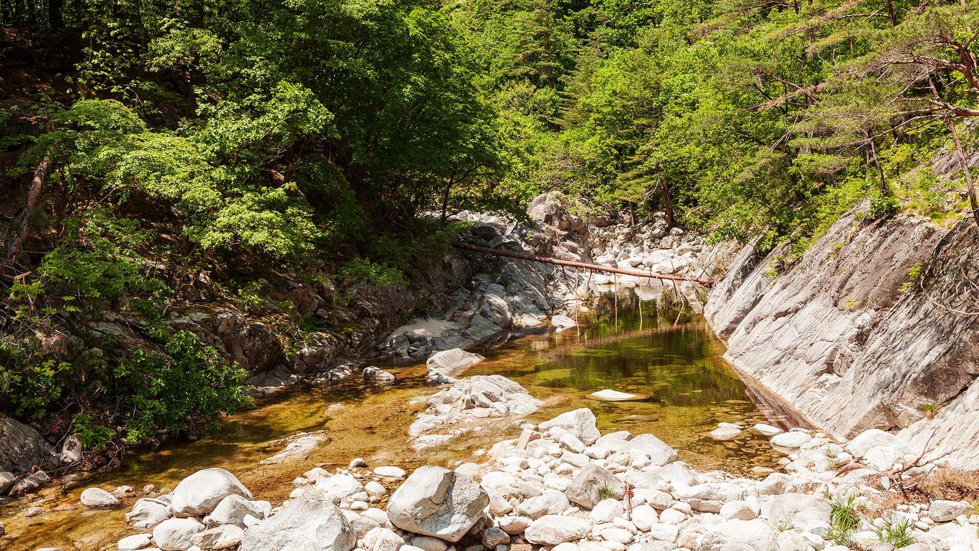
Sogeumgang (Small Geumgang) in Cheonghak-dong, Myeongju, is a scenic site located in Yeongok-myeon, Gangneung-si, Gangwon State. It was designated as a national heritage site on November 23, 1970. Covering an area of approximately 22 km², it forms part of Odaesan National Park and accounts for about one-quarter of the park’s total area. The first landscape encountered upon entering Sogeumgang is Mureung Valley (Mureung-gye), which stretches about 300 meters. Here, visitors are greeted by a valley where rapid streams and clear, blue pools flow in succession. The site began to gain recognition in 1569 when Yulgok Yi I explored Cheonghaksan Mountain and wrote “Yucheonghaksan-gi” (Record of a Journey to Cheonghaksan). He subsequently named the mountain, formerly known as Cheonghaksan, “Sogeumgang.” In 2021, the Odaesan National Park Office and the Yulgok Research Institute renovated a section of the Sogeumgang trail (a 6.2 km round trip from Sogeumgang Parking Area to Guryong Falls) based on historical research and field surveys, naming it the “1569 Yulgok Heritage Trail” as part of a project to promote it as a major attraction.
Tourist Guide
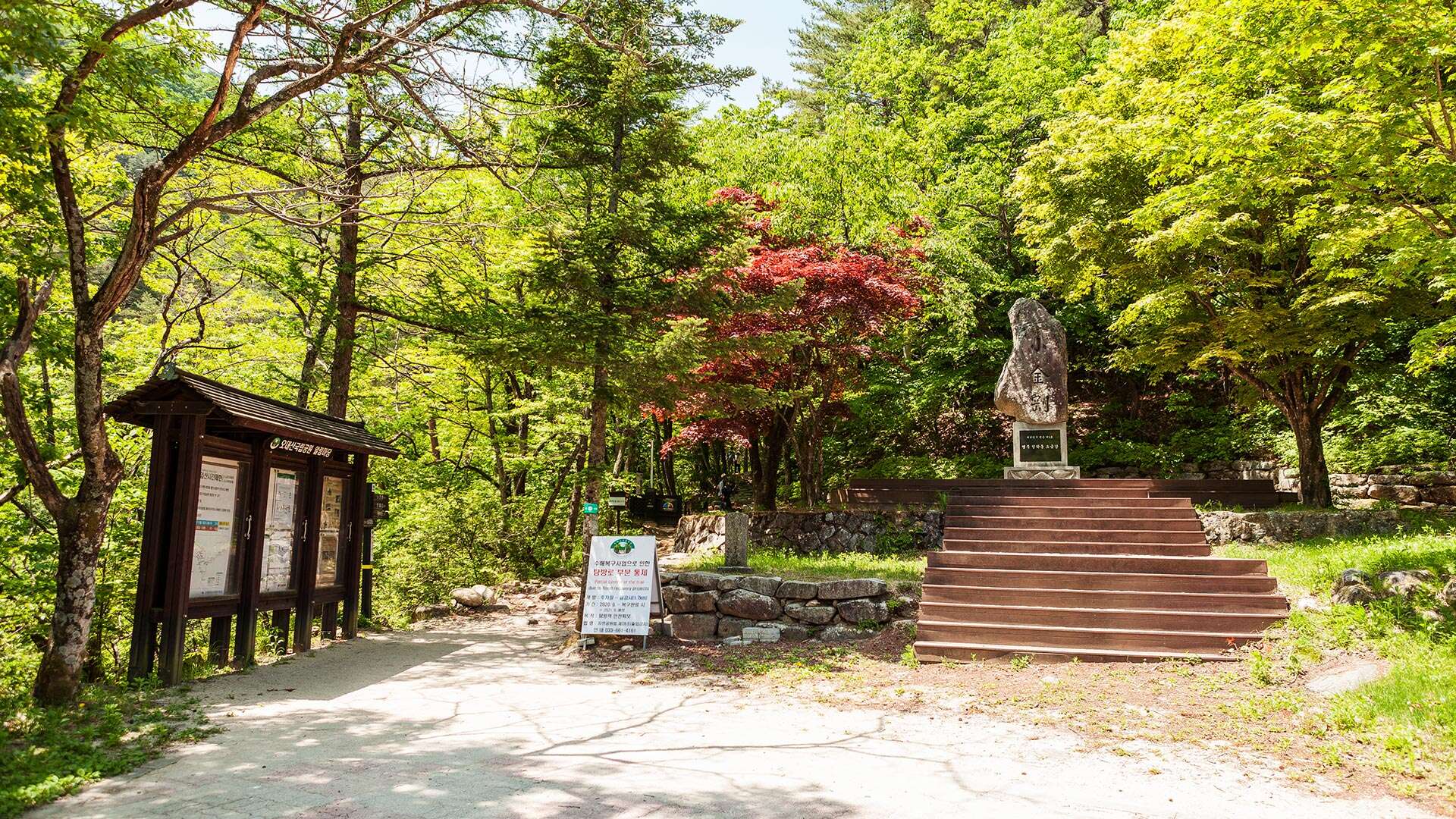
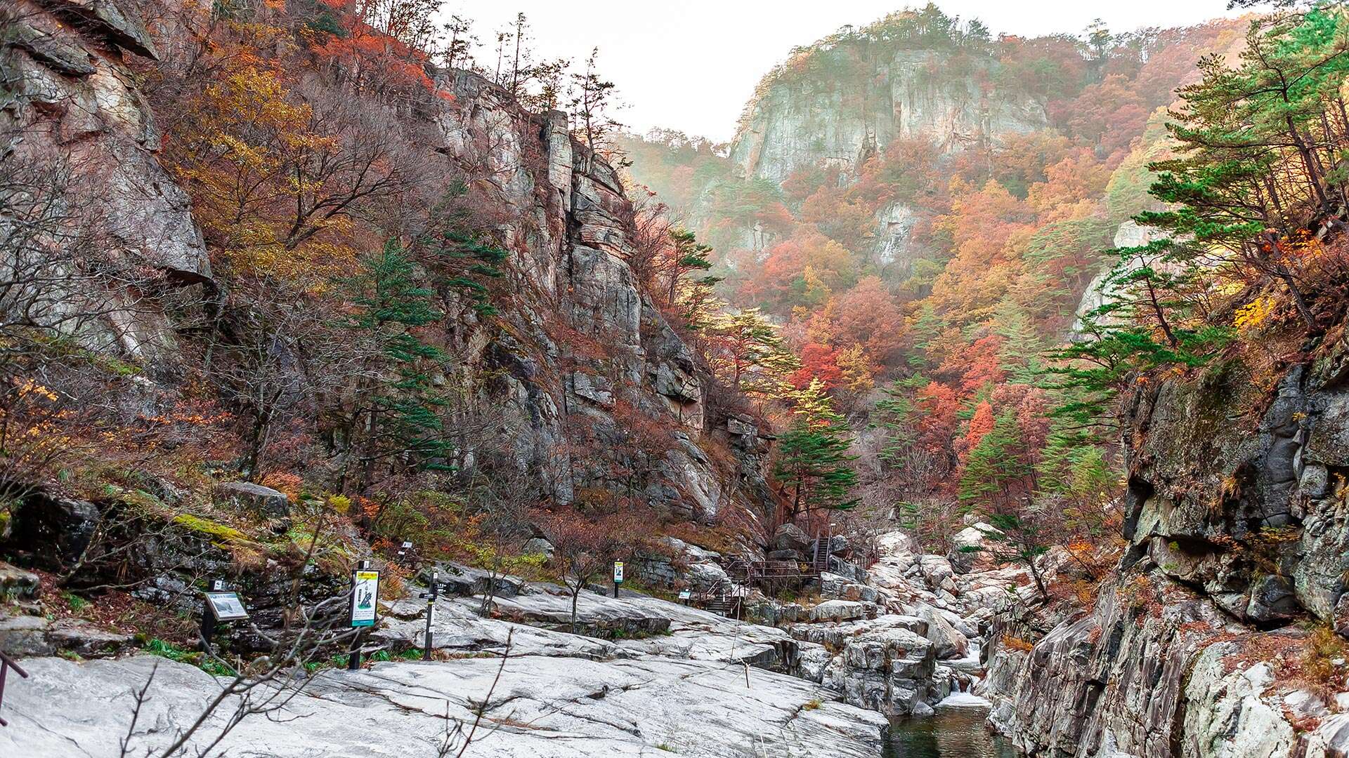
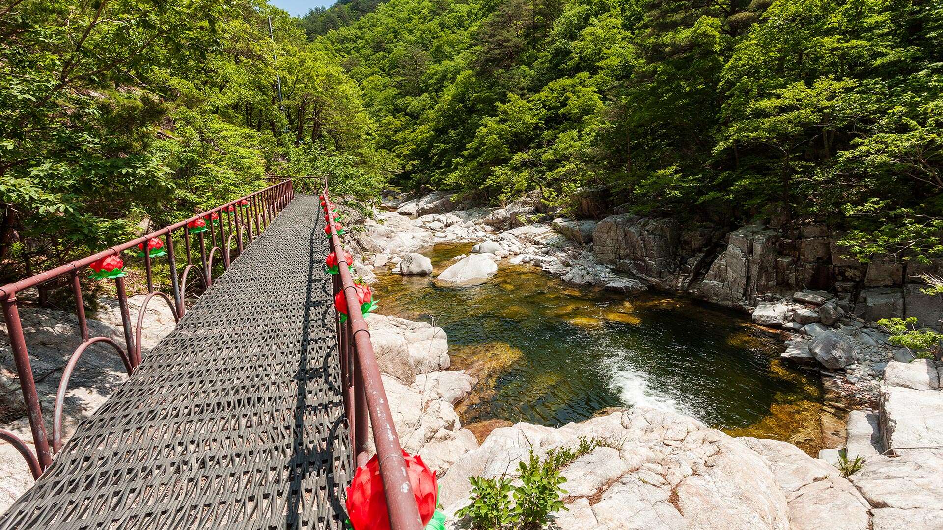
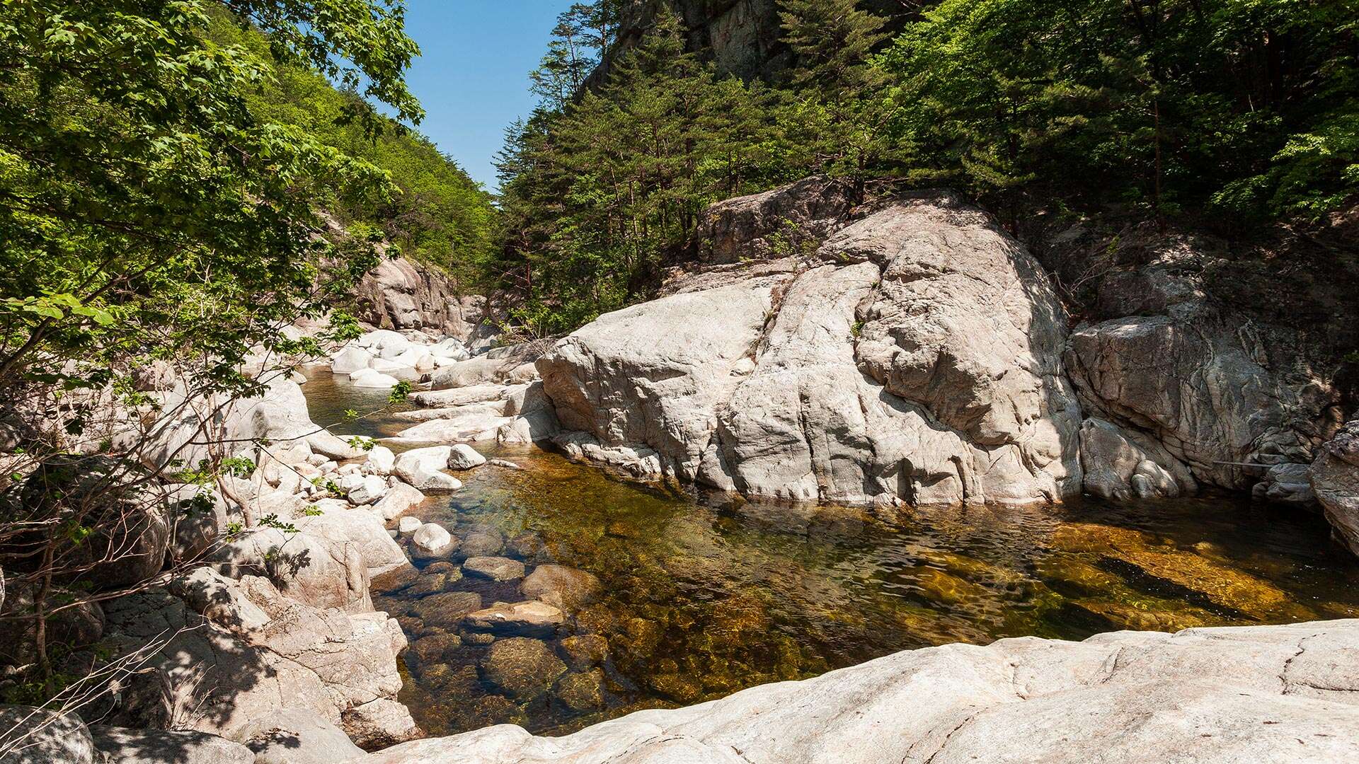
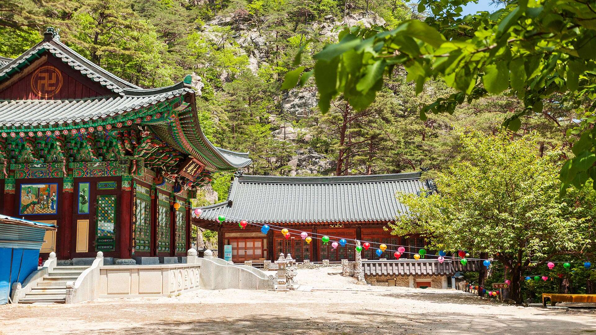
It is said that the three characters “小金剛” engraved on a large rock in the valley in front of Geumgangsa Temple were written by Yulgok, although this has not been confirmed. The nickname “Sogeumgang” (Small Geumgang) was given because the mountain’s terrain and its water and rock formations resemble a miniature version of Geumgangsan Mountain. In addition to its magnificent scenery reminiscent of Geumgangsan, the site is also rich in historical significance. The stream here flows through narrow gorges where the cliffs nearly meet, and the water is exceptionally clear and transparent. Mureung Valley lies low along the hiking trail and may easily be overlooked, while Sipjaseo (Cross Pool) is a deep rock waterway where both sides and the bottom are formed from a single continuous stone. Such formations are rare in gorges, offering a unique charm distinct from waterfalls or rapids.
Travel Tips
Designated as a national heritage site on November 23, 1970, Sogeumgang covers an area of approximately 22 km². The first scenic highlight, Mureung Valley, stretches about 300 meters, where rapid streams and clear pools unfold beautifully. The site became widely known through Yulgok Yi I’s “Cheonghaksan-gi.” The 21 km route from Sogeumgang to Woljeongsa Temple in Odaesan offers a series of breathtaking views. At the mountain summit, the remains of what is believed to be a fortress built by Prince Ma-ui, who sought to lament the fall of his kingdom, can still be found and are worth exploring. The dramatic rock formations and grand waterfalls harmonize with dense forests, creating outstanding scenery. There are plans to connect this area with Gyeongpodae, making it a major tourist destination on the East Coast. Regular buses operate between Gangneung and Cheonghak-dong, and there are many accommodations available in Cheonghak-dong for a comfortable stay.
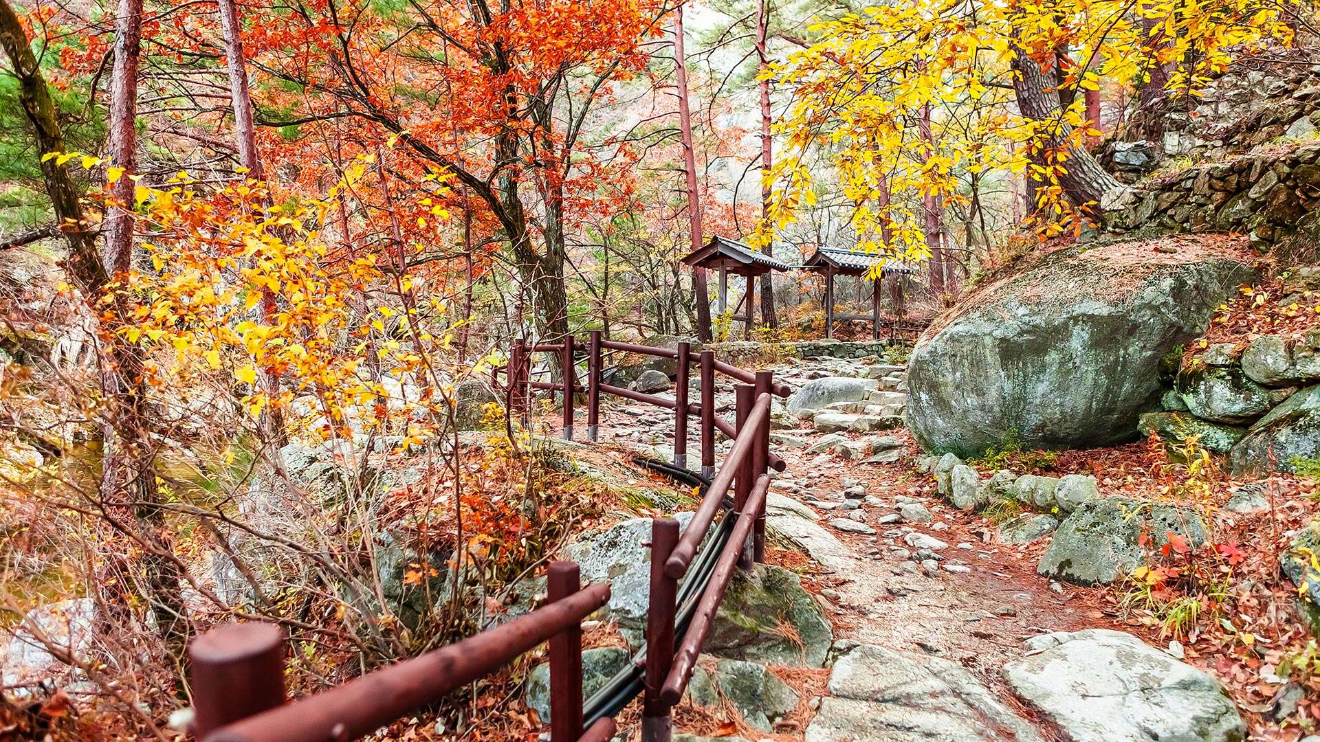
[Hiking Course: Management Office → Cheonghak Mountain Lodge → Guryong Falls → Manmulsang → Nagyeong Falls → Noinbong Peak → Jingogae Pass (15 km, approx. 5 hours 50 minutes)]