Introduction
Chilseongsan Mountain rises to 953 meters and spans across Eodan-ri in Gujeong-myeon, Mokgye-ri and Domari in Wangsan-myeon, Gangneung-si, Gangwon State. On the northern slope lies a wide fan-shaped plain called “Geumgwangpyeong.” The mountain was named Chilseongsan because the seven rocks at its summit resemble the Big Dipper constellation. The ridge on the left forms the boundary between Gujeong-myeon and Wangsan-myeon, while the ridge on the right separates Gujeong-myeon and Gangdong-myeon. On the eastern side of the ridge, clusters of oak trees thrive, while pine trees grow naturally in groups on the western side.
Tourist Guide
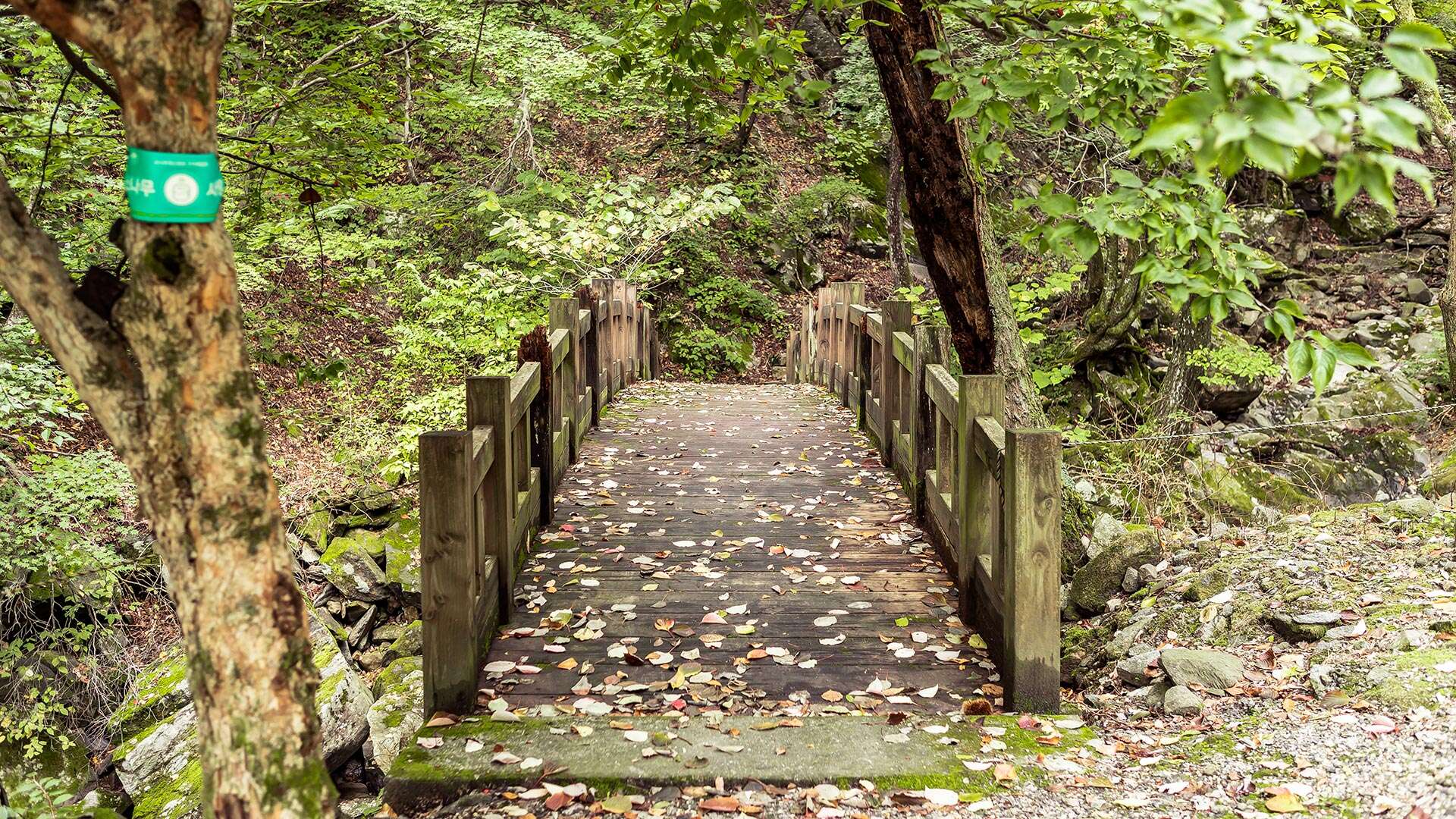
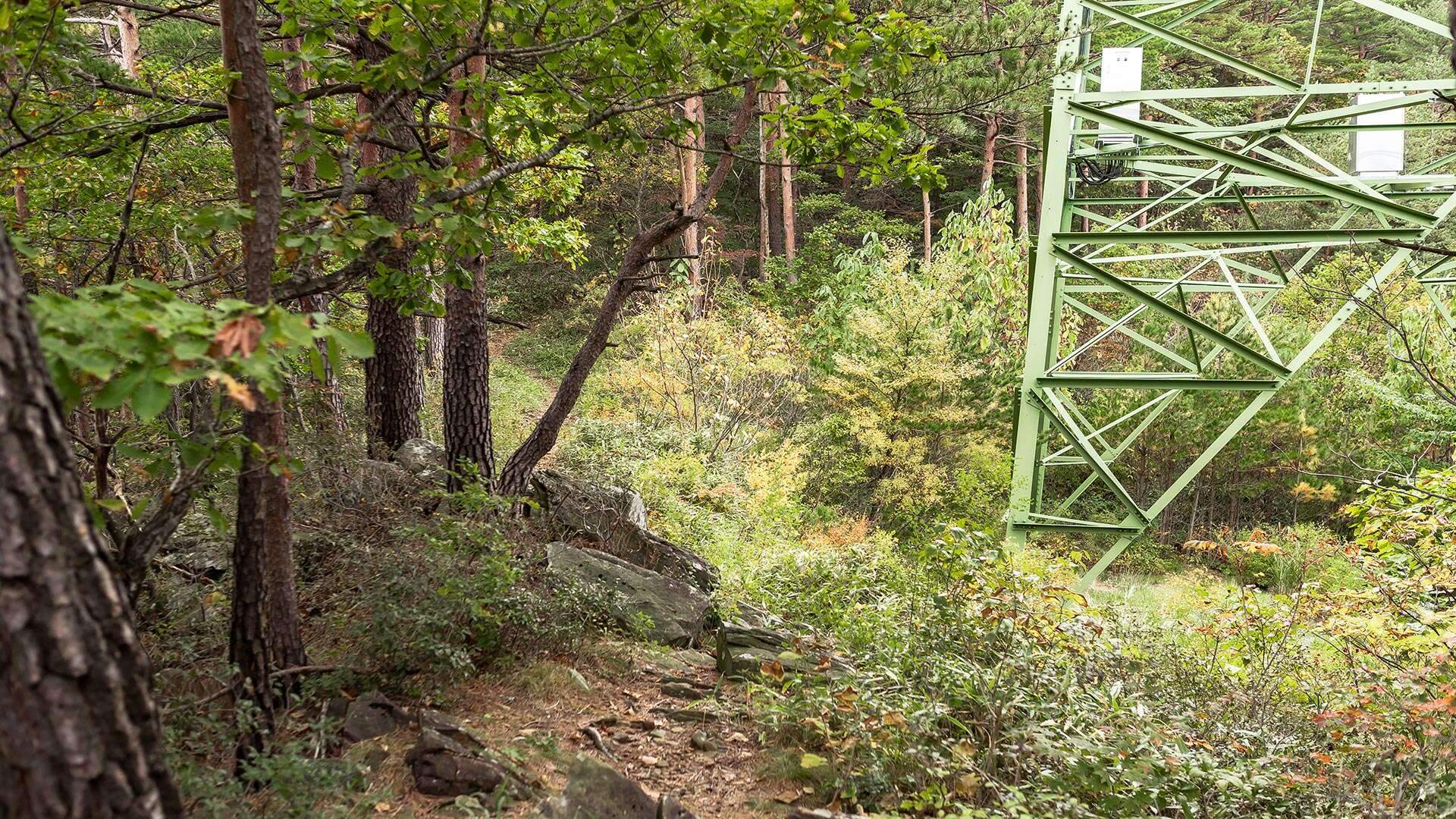
A recommended hiking course on Chilseongsan takes approximately four hours. The route starts at “Beopwangsa Temple,” passes a “transmission tower,” and continues to “Chilseongsan,” “Chilseongdae,” and “Danggyeonggol,” before returning to “Beopwangsa Temple.” Beopwangsa Temple is easily accessible by exiting at “Namgangneung IC” from the Yeongdong Expressway.
Travel Tips
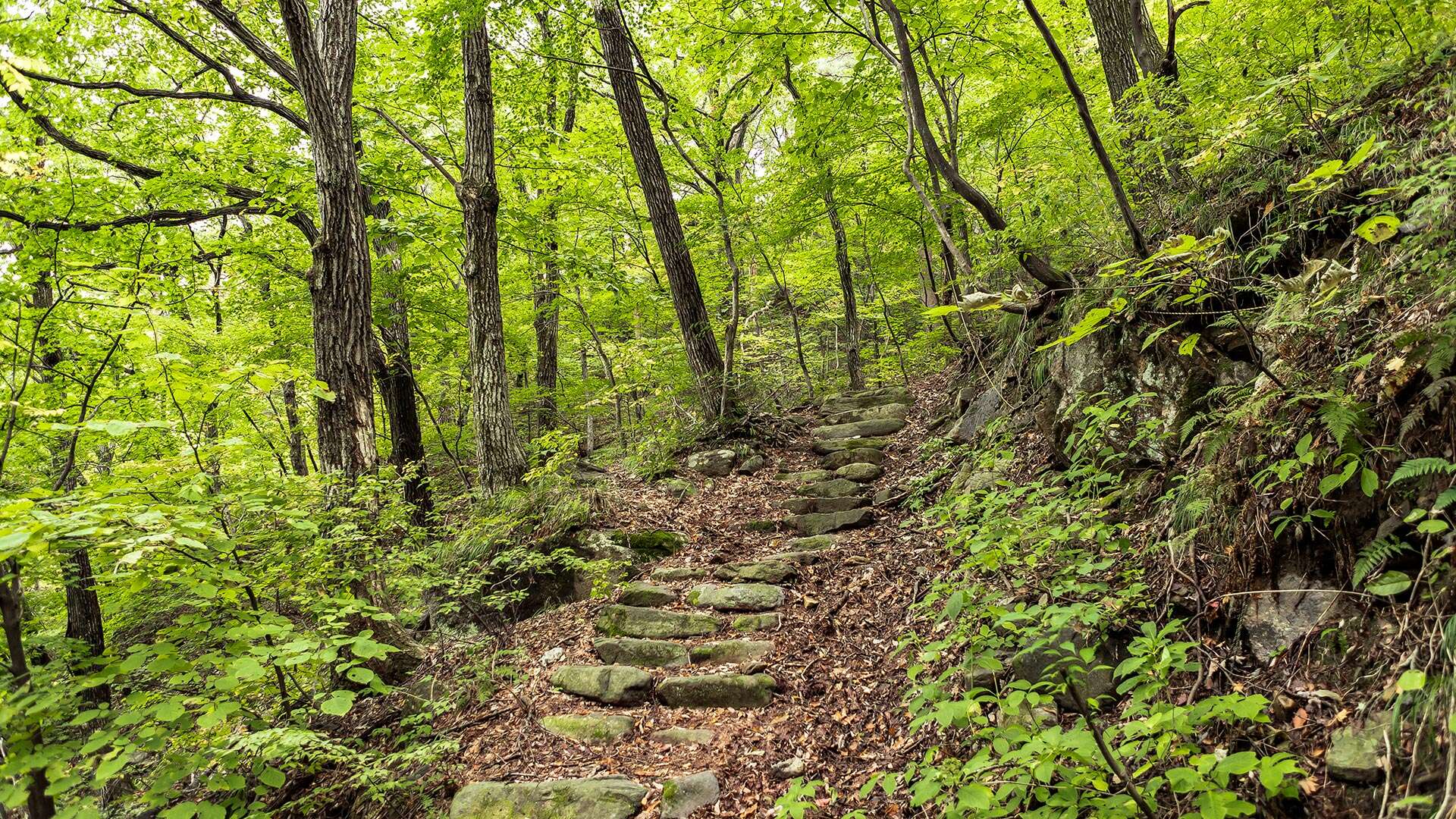
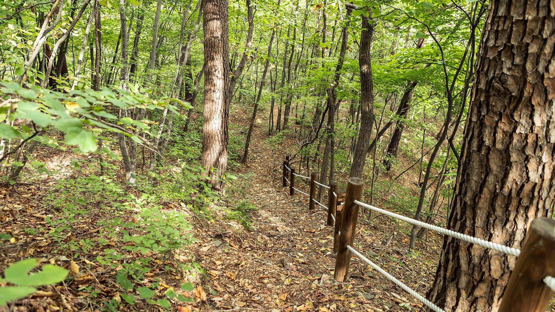
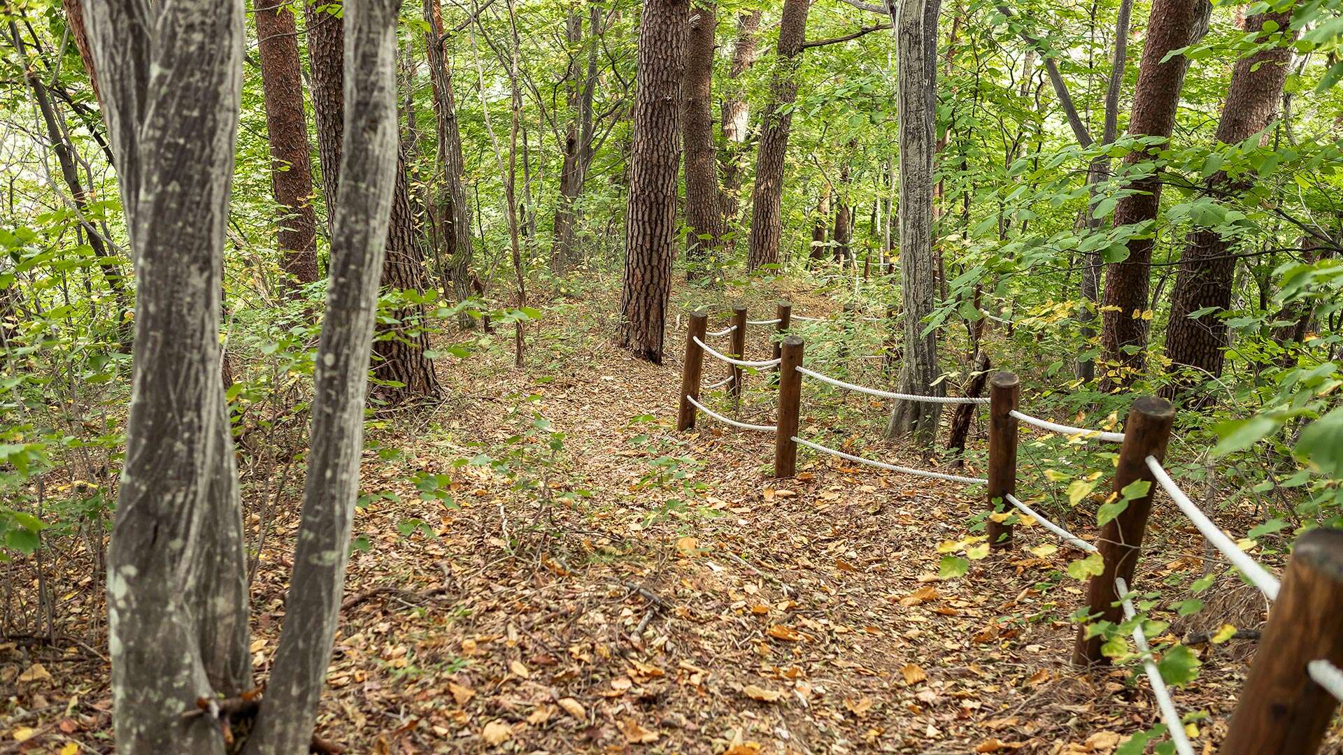
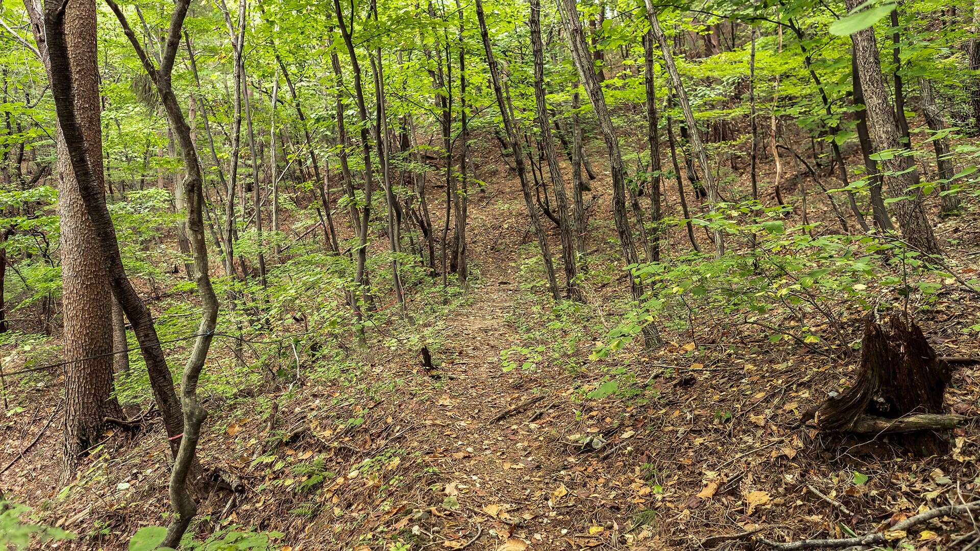
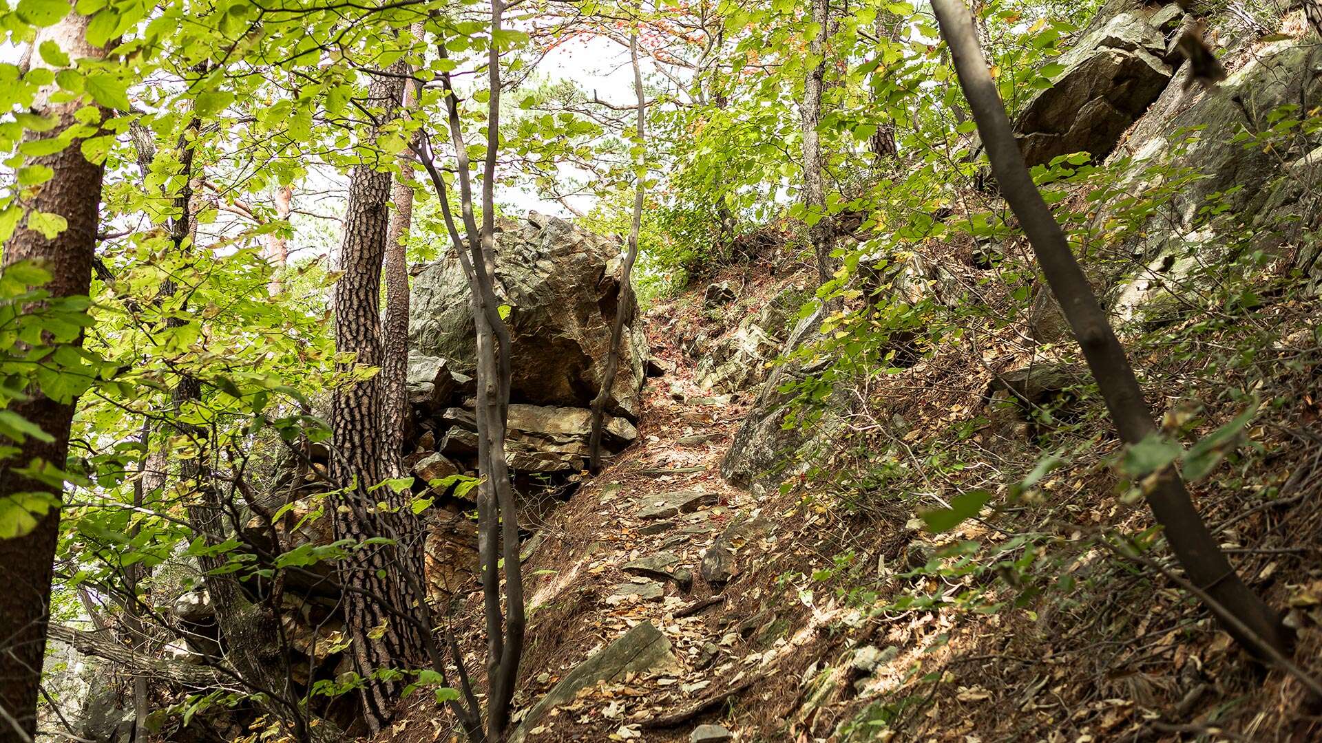
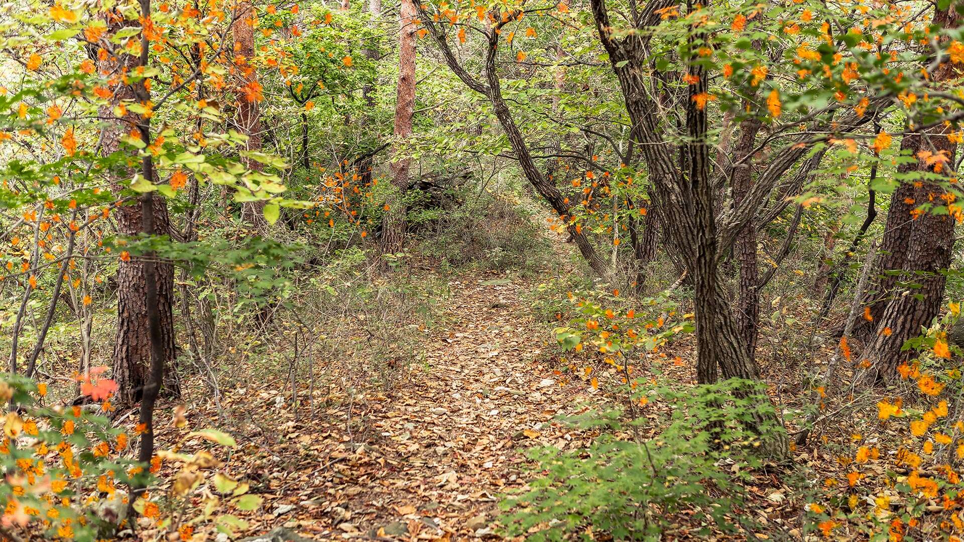
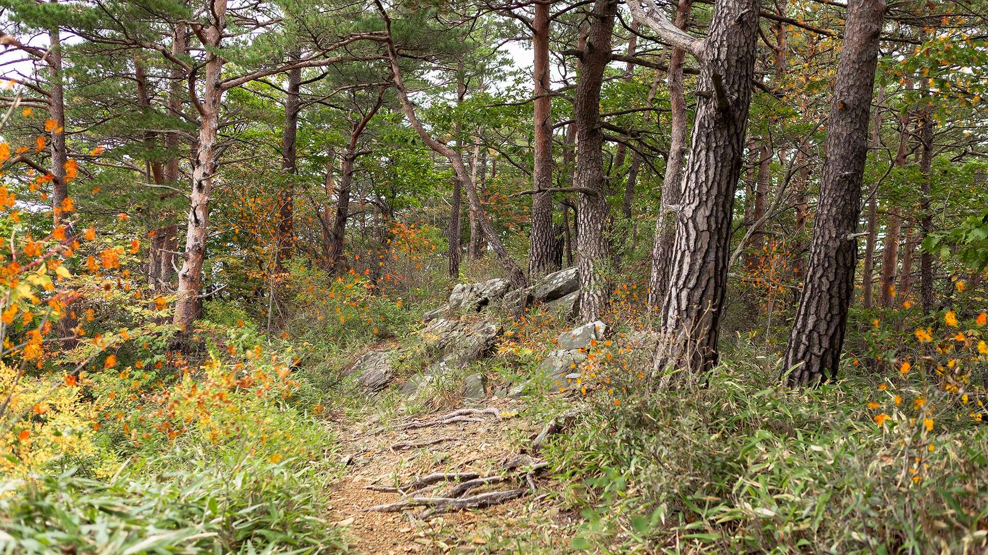
The hiking course begins at Beopwangsa Temple. About 30 meters along the valley from the temple, you will find a ribbon tied to a tree on the opposite side to the left. Crossing this valley leads to the ridge trail that serves as the entrance to Chilseongsan. Upon reaching “Chilseongdae” after climbing Chilseongsan, visitors are greeted by magnificent rock formations encircling the surrounding mountains, along with beautiful old pine trees growing among unusual rock formations. It takes approximately 2 hours and 20 minutes from the starting point to reach Chilseongdae. Around the summit, striking rock formations blend harmoniously with the natural scenery. To the east of the summit, visitors can enjoy panoramic views of the Gangneung coast, “Geumgwangpyeong,” and downtown Gangneung, along with Beopwangsa Temple. For the descent, follow the ridge trail from the summit back to Beopwangsa Temple. Alternatively, descending along the ridge near a small helipad leads to Tapdong Village in Domari, Wangsan-myeon, along National Route 35 toward Imgye, Jeongseon. The descent also features scenic combinations of unique rock formations and old pine trees, and the extended ridge connecting to Wangsan offers beautiful natural views. About 50 minutes down from the Chilseongsan peak, you will encounter a bamboo grove, and a little further down lies “Gwaneumsa Temple.” It takes approximately 2 hours and 30 minutes from Chilseongdae to Gwaneumsa Temple. As this trail is not frequently used, extra caution is required.