Introduction
Jeowangsan is an 840-meter-high mountain located in Eoheul-ri, Seongsan-myeon, and Wangsang-ri, Wangsan-myeon, Gangneung-si, Gangwon-do. The mountain features gentle slopes, with oak forests and deciduous larch trees scattered throughout its landscape. It is one of the ridges extending east from the central line connecting Daegwallyeong and Neunggyeongbong, and it is the highest peak in the eastern Daegwallyeong mountain range.
Historically, it is said that King U of the late Goryeo dynasty built a fortress on Jeowangsan and sought refuge there. Evidence of this includes stone retaining walls and roof tiles found on the mountain. Following the valley along the northern slope, visitors can encounter the remains of Jeminwon, a lodging facility on the Yeongdong Road during the Joseon era, and nearby is the Daegwallyeong Natural Recreation Forest, which provides accommodation. The boundary between Doam-myeon, Pyeongchang-gun, and Seongsan-myeon, Gangneung-si, features Seonjaryeong, and to the north, Daegwallyeong and Odaesan National Park are visible.
Tourist Guide
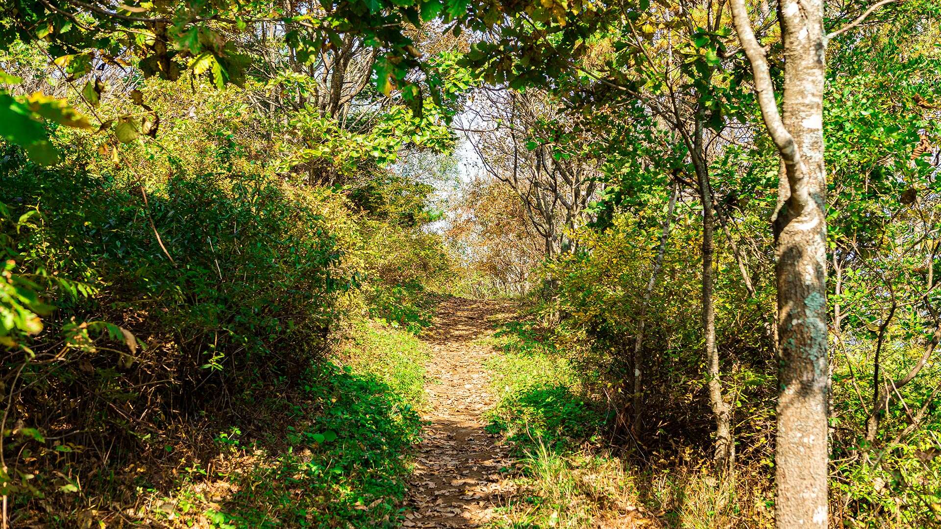
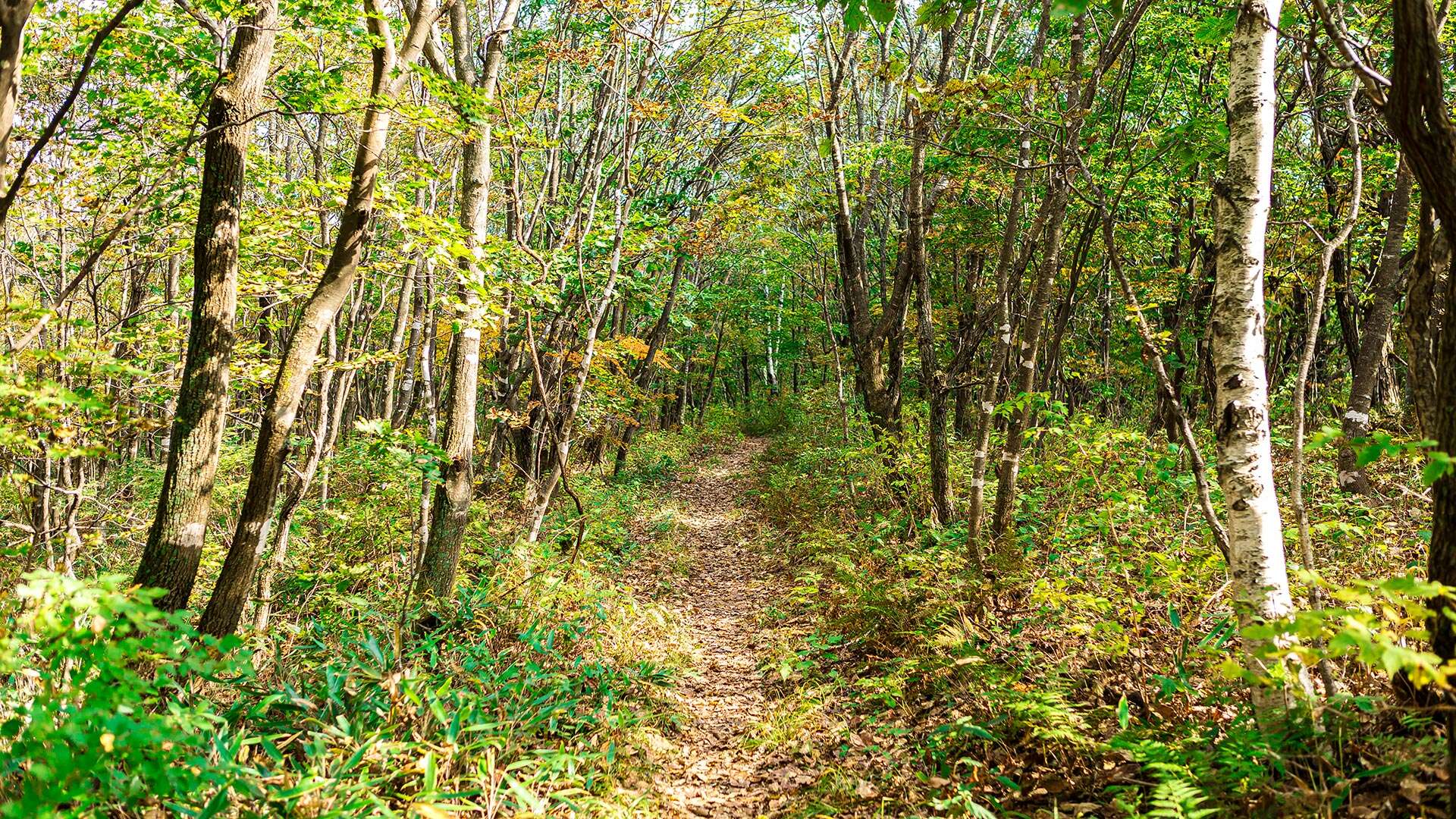
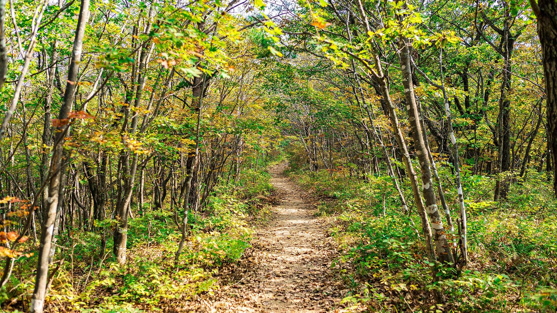
Jeowangsan's gentle slopes, dotted with oak and deciduous larch forests, make it ideal for leisurely hiking while enjoying fresh air and peaceful surroundings. The mountain faces Seonjaryeong at the boundary of Doam-myeon, Pyeongchang-gun, and Seongsan-myeon, Gangneung-si, and to the north, it overlooks Daegwallyeong and Odaesan National Park across the Yeongdong Expressway.
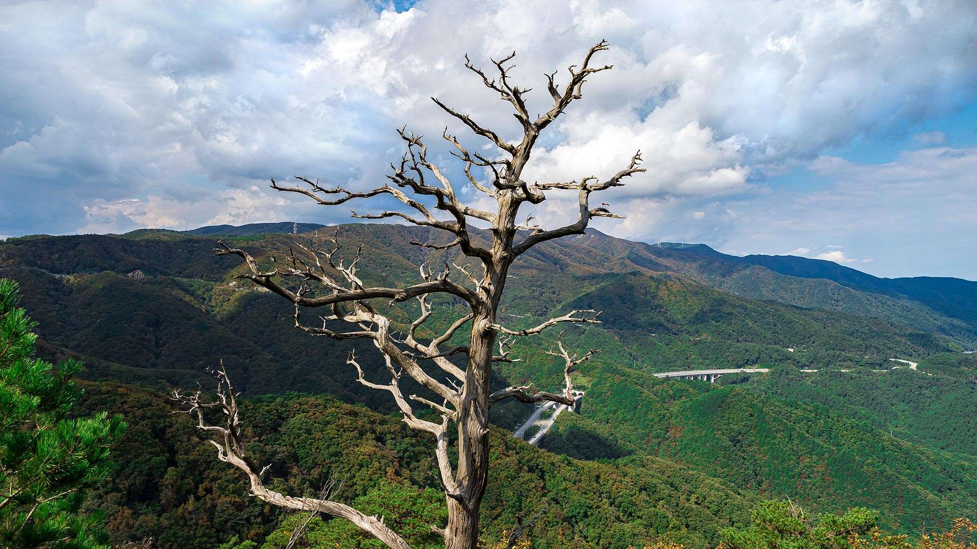
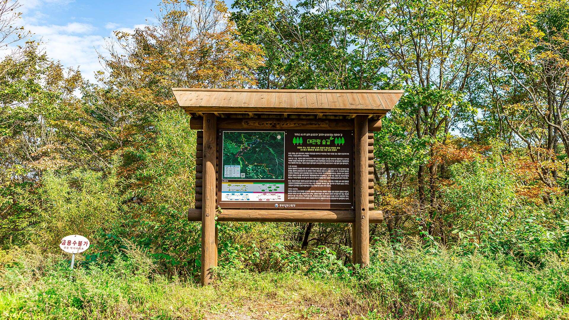
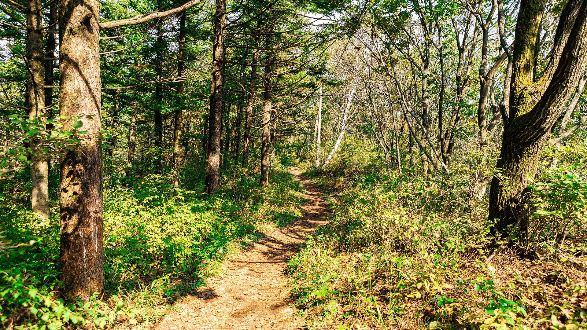
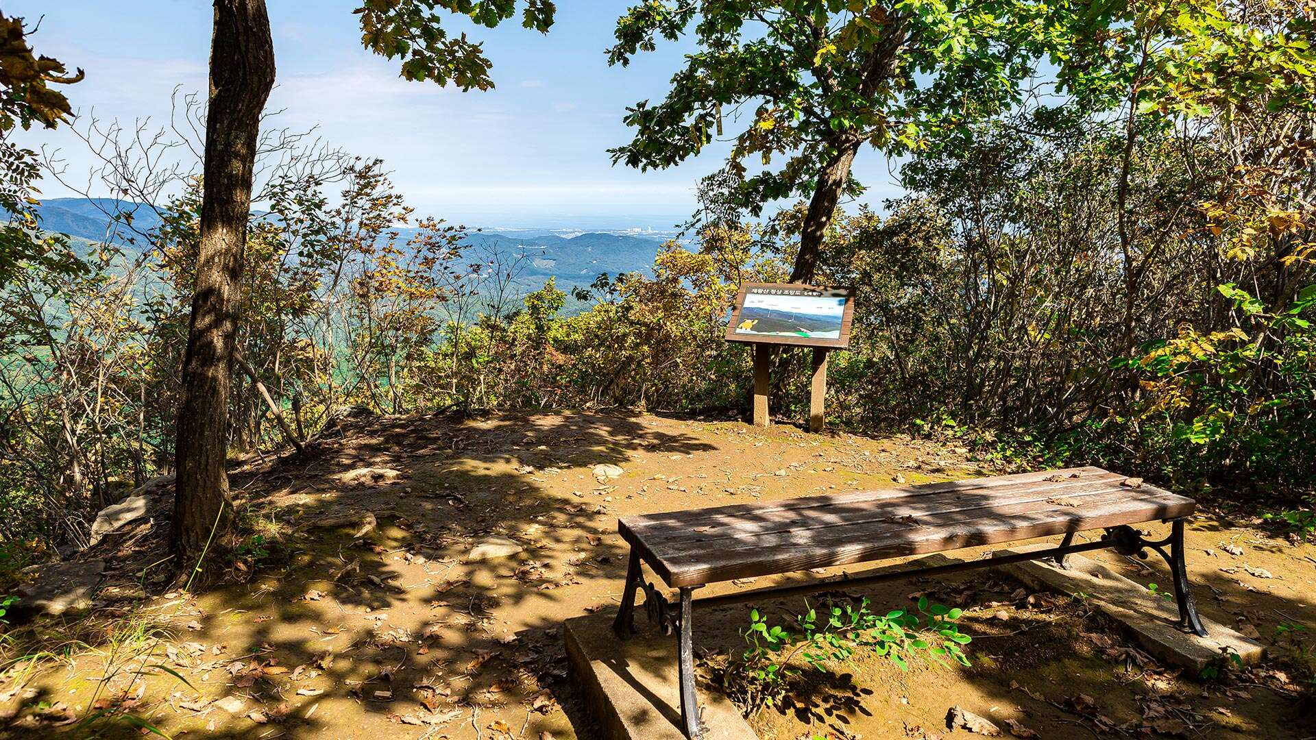
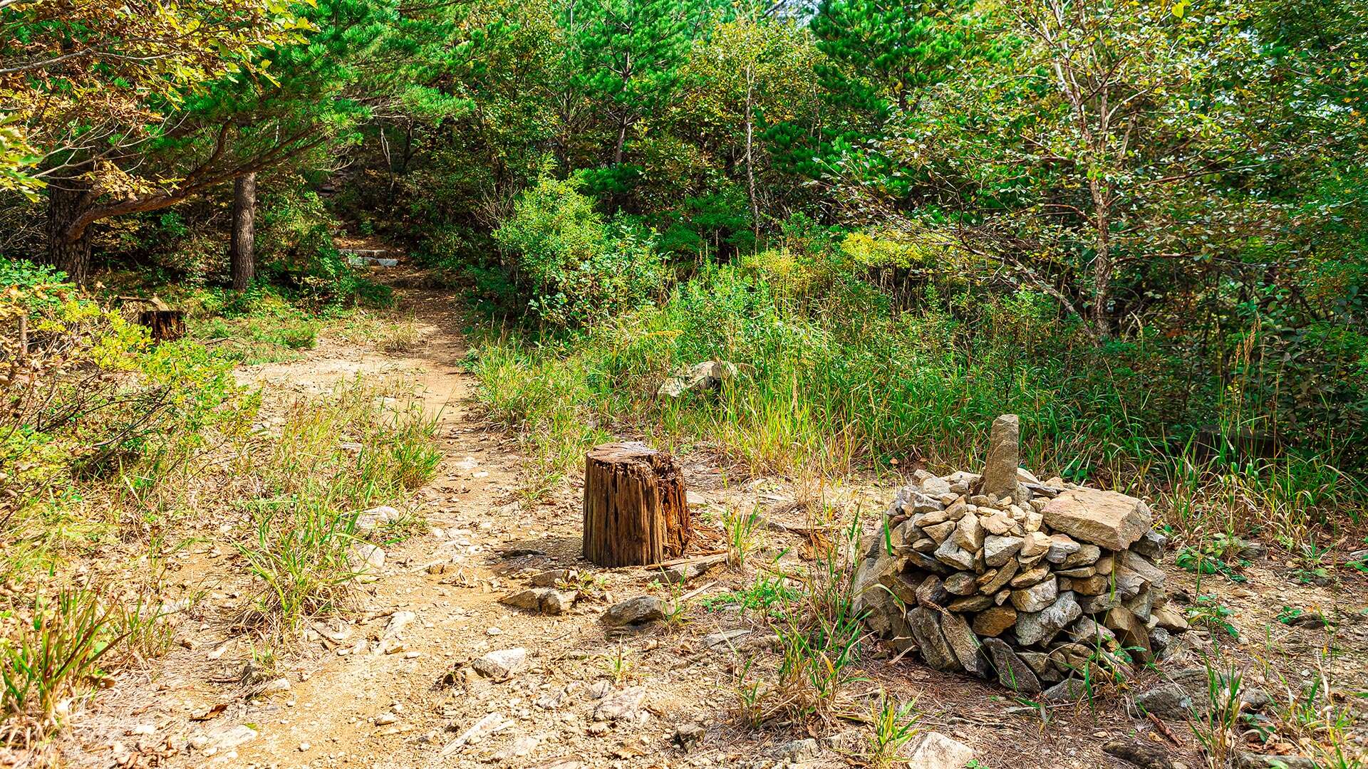
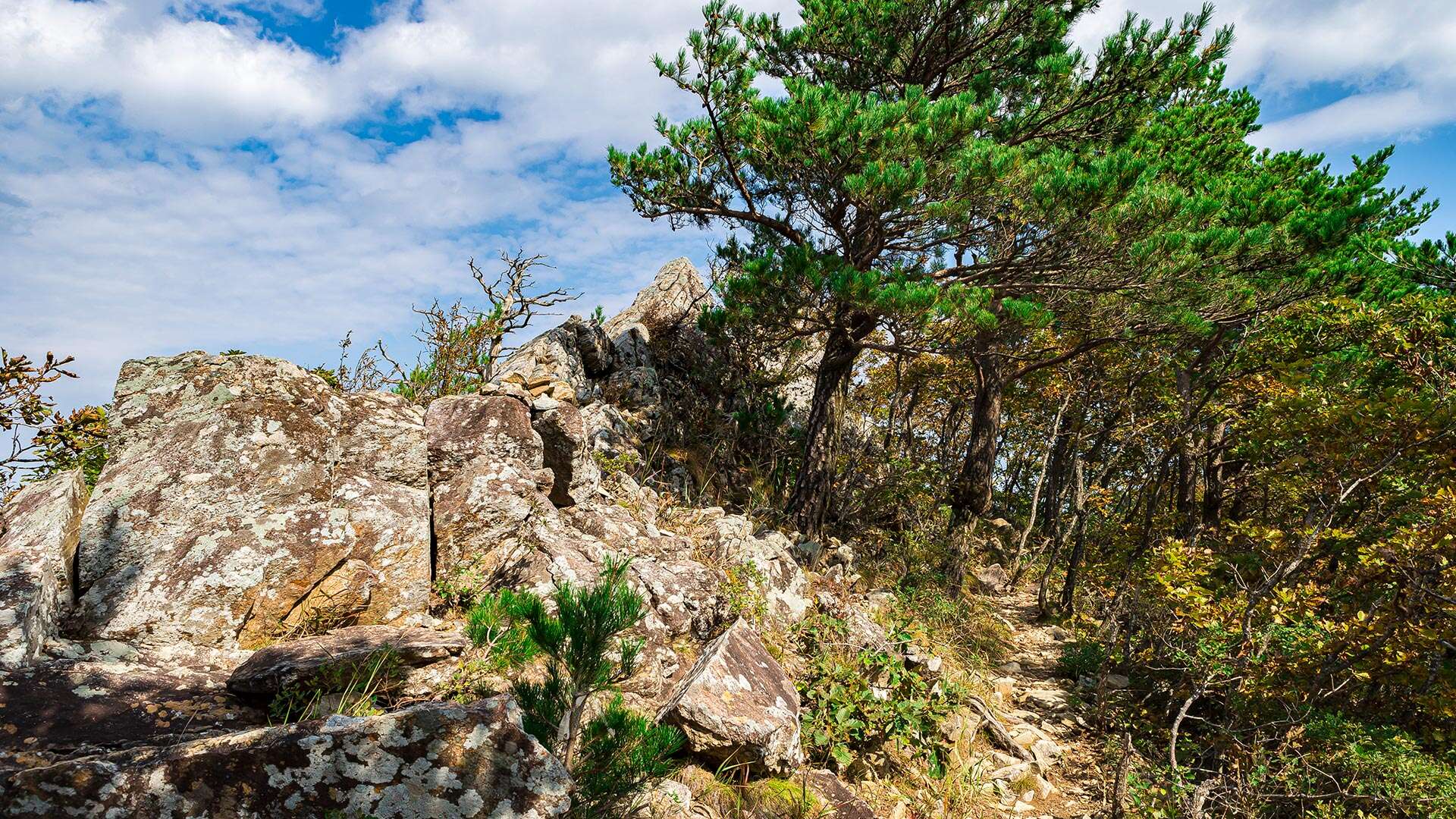
A road runs through the forest from the old Daegwallyeong Service Area on the Yeongdong Expressway to Jeowangsan. Shortly after leaving the service area, hikers pass a well where traditional rain rituals were performed, then continue east along a gentle slope to reach the summit. The hike typically begins from the Daegwallyeong Service Area, following a path north to Daegwansa Temple. Ascending the steep northern ridge leads to the summit, offering breathtaking panoramic views of Gangneung and the East Sea.
Tourist Tips
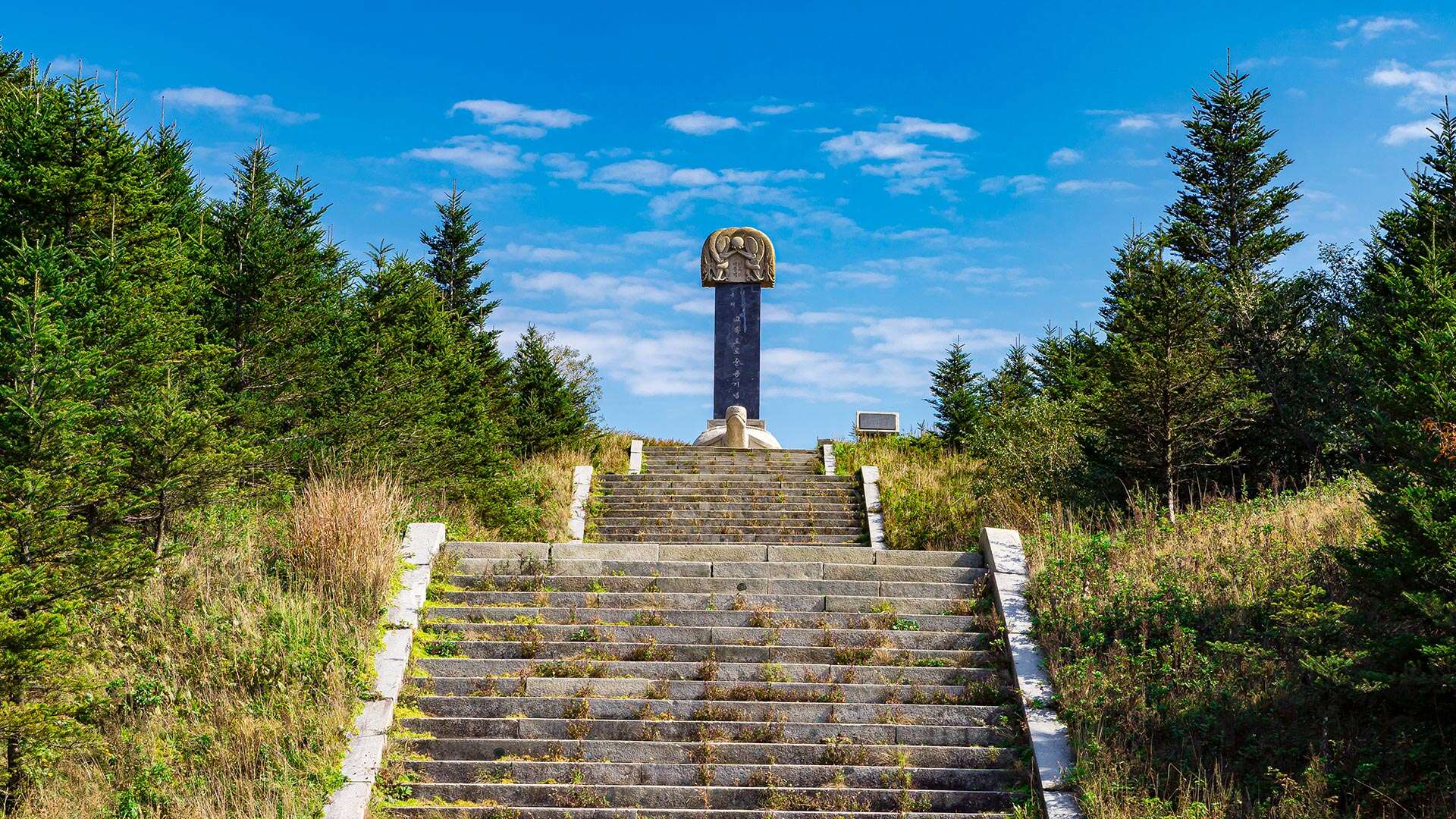
The Jeowangsan hiking course spans 8.7 km, typically taking about four hours. The route goes from Daegwallyeong Service Area – Expressway Completion Monument – Forest Outpost – Observatory – Sotdae Rock – Jeowangsan Summit – Forest Outpost – Healing Forest – Jumak Street – Daegwallyeong Museum.
On the northern slope, a small stream flows through Eoheul-ri, part of the upper Namdaecheon River. This stream follows the old Daegwallyeong route that historically connected Gangneung and Yeongseo regions, now used as a hiking trail. The 456 local road runs to the north. Descending along the valley, hikers encounter the stream from Eoheul-ri near the Daegwallyeong Museum, making it a pleasant detour.
The area is rich with natural beauty, featuring wildflowers such as Beolgaemi-chwi and Gugyeolcho that welcome visitors. The combination of rugged rocks and pine trees resembles a delicate watercolor painting, creating a serene and picturesque landscape.